All official European Union website addresses are in the europa.eu domain.
See all EU institutions and bodiesAn official website of the European Union | How do you know?
Environmental information systems
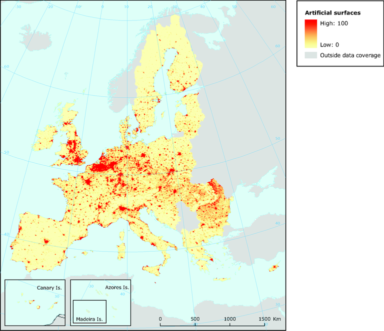
Urban temperatures of Europe computed from Corine land cover
Map (static)
Smoothed artificial surfaces (10 km radius)

Downloads
Data sources
Metadata
More info
Loading
Methodology
Applied procedures: The map of urban temperatures or urban potential is based on the application of CORILIS spatial smoothing techniques. The smoothing radius used can be changed. In this example it was set at 10 km to give a vision and measure of the influence of cities and towns on their neighbourhood, according to their size and their spatial distribution. The scale used is the % area covered by artificial surfaces within a 10 km radius (see Section 8.3.1). Such maps can be used as a pressure indicator. Smoothing techniques such as this, based on population census data, have also been used by demographers to map urban temperatures.
