All official European Union website addresses are in the europa.eu domain.
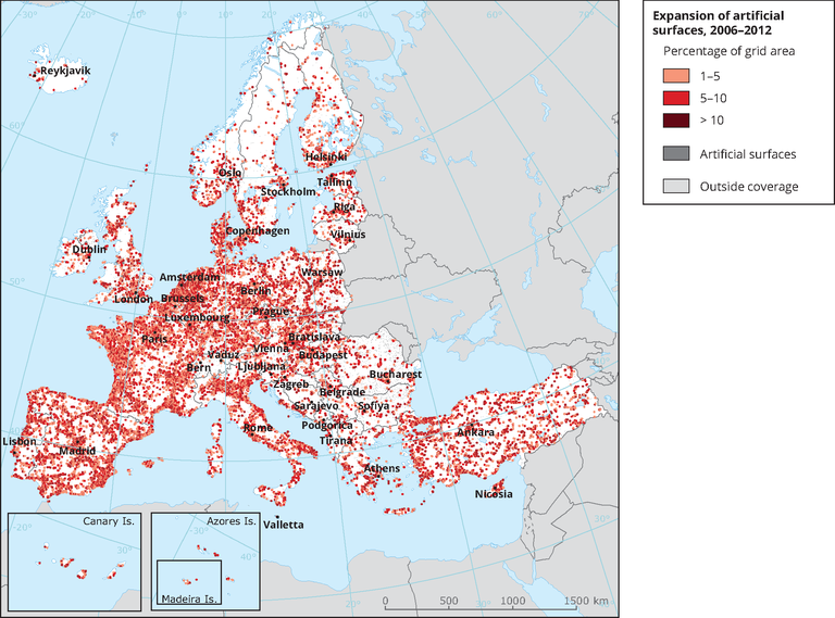
See all EU institutions and bodiesThis map shows spatial distribution and intensity of expansion of artificial surfaces (lcf2 Urban residential sprawl + lcf3 Sprawl of economic sites and infrastructures) over the territory in period 2006 - 2012.
Loading

