All official European Union website addresses are in the europa.eu domain.
See all EU institutions and bodiesAn official website of the European Union | How do you know?
Environmental information systems
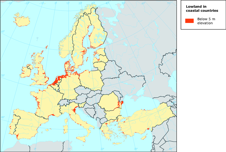
European coastal lowlands most vulnerable to sea level rise
Map (static)

Downloads
Data sources
Metadata
More info
Loading
Methodology
The lowland was extracted from a global digital elevation model (DEM)/ digital terrain elevation model compiled by EEA and derived from the GTOPO30 dataset from U.S. Geological Survey. Detailed methodology information is available in the word document below. Assessing the results it should be taken into account that very narrow strips of coastal lowland is likely not to be included in the analysis. This entails that greater areas of lowland might be overestimated compared to narrow lowland areas in Europe. It should also be considered that the lowland results are more accurate in flat areas rather than in steeper areas of Europe. This is due to the calculation of the DEM.
