All official European Union website addresses are in the europa.eu domain.
See all EU institutions and bodiesEEA Report 11/2016
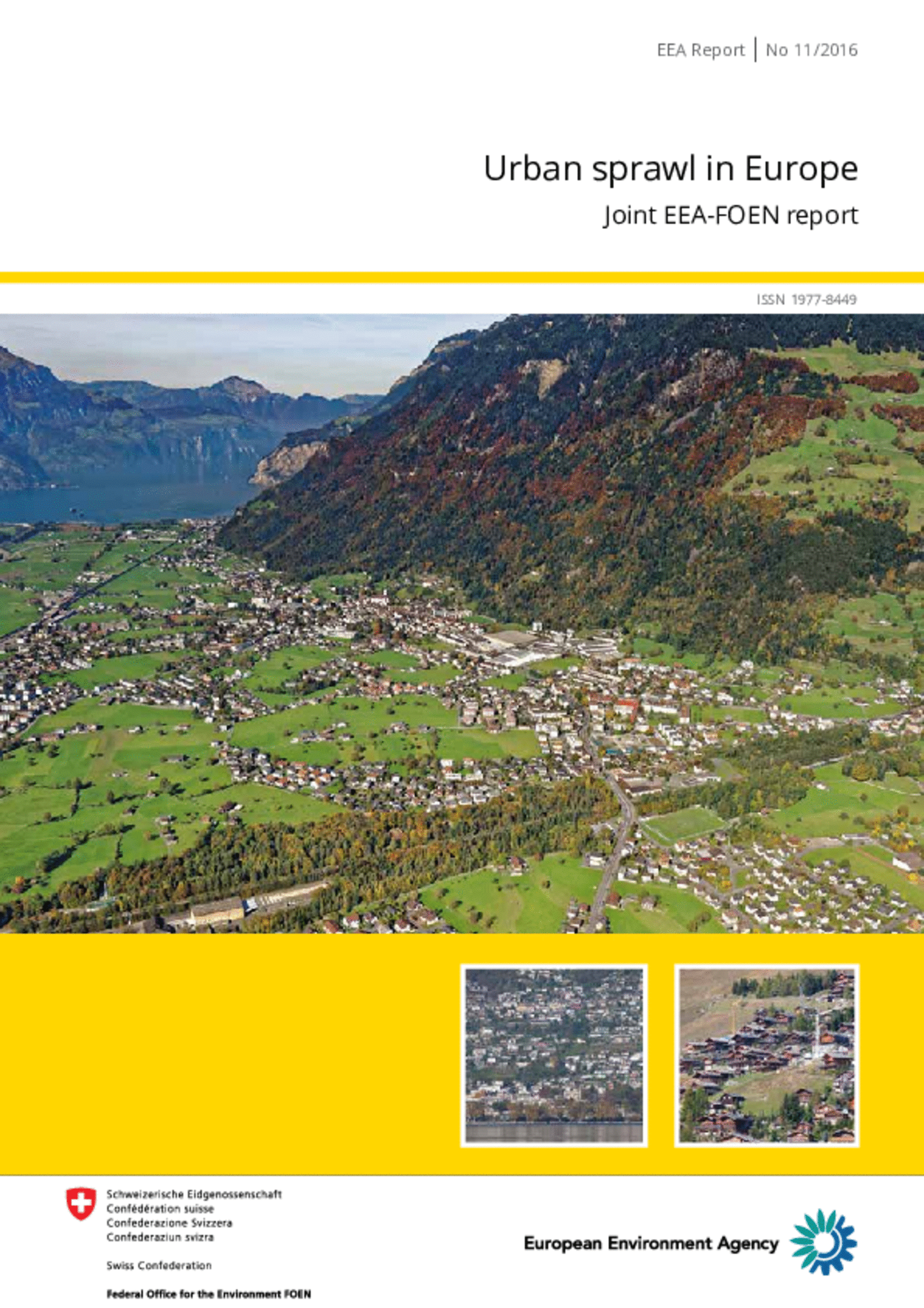
This report provides a comparable measurement of urban sprawl for 32 European countries at three levels (the country level, the NUTS-2 region level and the 1-km2 cell level) and for two years (2006 and 2009). The analysis is based on the Copernicus system which monitors the Earth and collects data by different sources. This data provides information about a number of thematic areas, including land. Under land a pan-European component delivers information about various areas, including the level of sealed soil (imperviousness), through high resolution layers taken from satellite imagery. The analysis uses new urban sprawl metrics taking into account the way built-up areas are laid out and how they are used. It also looks at the factors which contribute to an increase or decrease in urban sprawl. The results confirm the conclusions of earlier EEA reports namely that in many parts of Europe current levels of urban sprawl have contributed to detrimental ecological, economic and social effects. This gives cause for concern and such effects may increase alongside planned urban development.
EN PDF: TH-AL-16-010-EN-N - ISBN: 978-92-9213-738-0

