All official European Union website addresses are in the europa.eu domain.
See all EU institutions and bodies
An official website of the European Union | How do you know?
Environmental information systems
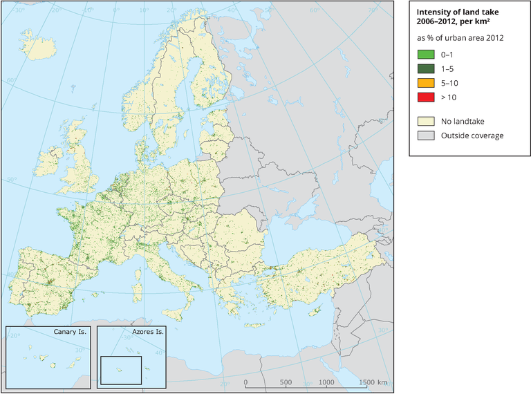
Based on Corine Land Cover 2012 and changes between 2006 and 2012, the map shows the land take distribution and intensity for development of urban and other artificial areas.
Loading